Showing posts with label plazas. Show all posts

Friday, March 12, 2021

Occidental Square Park Seattle


The Weyerhaeuser headquarters, offered for sale in 2020.


The old information kiosk, now gone.

Photos above taken in 2017


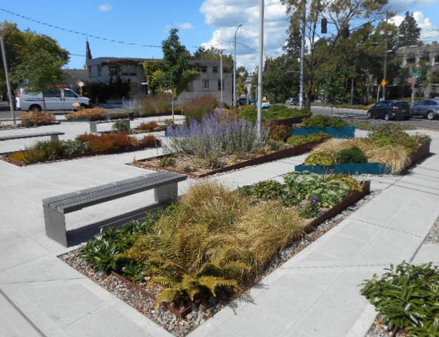
Photos above taken in 2018

Occidental Square (117 Washington St) is a city park covering 0.6 acres at the center of  Pioneer Square in Seattle, entirely paved with bricks & concrete pavers.  It was cobbled together when 2 blocks of Occidental Avenue S were closed to vehicular traffic & joined with half a city block behind the Grand Central Building, that had been a parking lot.  That happened in 1971, during the general renovation of Pioneer Square, Seattle's oldest neighborhood.  Dozens of mature shade trees now stand in graveled wells.  The park has 4 monumental sculptures (2 are totem poles) carved from cedar in the northwest coast native style.  A tasteful children's play area was added in 2019.  Construction of a wood & glass pavilion began in June of 2020 & was expected to be completed in Spring 2021.  It will cover a 30-by-90-foot area with a glass canopy supported by timber beams & steel columns. This sleek shelter will have an information center & can be used as an outdoor classroom, stage, or covered seating area. Events, such as a weekly crafts fair, live music, food trucks & art installations are normally scheduled during the summer, when you can also find tables & chairs, ping pong tables & a giant chess set during more quiet times of the week.  The Grand Central Building, a historic building with ground floor retail, opens onto the park.  Facing the park on the opposite side, is an elegant modern building of brick & glass built by the Weyerhaeuser Company as its new headquarters in 2016.  Many shops & restaurants can be found nearby.  Some flank the single block of Occidental Ave, now known as Occidental Mall (between S Main St & S Jackson St) closed to cars, nicely paved in brick & lined with historic buildings.

Friday, November 2, 2018

Place Garibaldi Nice France

Statue of Garibaldi


Photos taken in February 2017

Click here for more photos of Nice.

Place Garibaldi is a beautiful, lively & venerable public space in Nice France. Located near the port, it was first conceived as an extension of Vieux Nice (the old city) in the late 18th century.  Work began in 1773.  Antonio Spinelli was chosen to create the design in 1780.  He modeled Place Garibaldi on the great squares of Turin.  Place Garibaldi soon became the terminus of the new road that connected Nice to Turin, the capital of Savoy, which then included Nice. The Royal Route of Turin is now the Rue de la Republique.  The square was primarily created to improve the movement of goods between the city, the port & the hinterlands. After a series of other names, it became Place Garibaldi in 1870. Giuseppe Garibaldi, an Italian general & politician who played a major role in the unification of Italy (the Risorgimento), was born in Nice.  His statue was erected at Place Garibaldi in 1891. The square was also planted at that time with trees for beautification.  Unfortunately, but probably inevitably during the 20th century, priority was given to automobile traffic & Garibaldi Square became a transportation hub with parking in its open spaces. Public space was limited to walkways under the porticoes. Commercial activity declined.  As part of the Nice's downtown renewal policies of the 2000s, the creation of a tramway line crossing the square reduced the influence of automobiles. New plantings & open spaces occupy areas previously dedicated to parking or traffic. As a result, Place Garibaldi has gained renewed vitality & importance in the urban landscape of Nice.

Friday, August 3, 2018

Mount Baker Station

Hosta & other plants fill this long planting bed.

Artspace Mt. Baker Lofts

 Mount Baker Station with plaza on Rainier Avenue S


Elevator, escalator & stairs. Photos were taken in June 2016.

The Mount Baker Station is not exactly in the Mount Baker neighborhood, but right next to it, with a view of Franklin High School, a Mount Baker landmark building.  It is located on Rainier Avenue S & Cheasty Boulevard S near the intersection with Martin Luther King Jr Way S.  It opened in 2009 after 4 years of construction.  It covers 30,000 square feet & is more than 400 feet long.  This structure is elevated 35 feet above an open plaza & access to the platform provided by stairs, escalators & elevators.  The light rail line enters the Beacon Hill Tunnel very near the station.  The properties next to the station have mostly not been developed.  The one prominent new building next to the station is Artspace Mt. Baker Lofts, whose ground floor retail spaces wrap around the building.  If each new building were to open retail spaces facing the station, the plaza could be quite a lively place.  At present, it is surrounded mostly by empty space & parking lot.  The landscaping at the station is better than usual for a public space.  I particularly like the long bed of Liquidambar styraciflua (Sweetgum), Hosta, Hydrangea anomala & a few other plants that runs behind the station.  The plaza in front of the station has few trees & much pavement.  Beneath the station there is a display of information about the Olmsted Legacy in Seattle.  Mount Baker Boulevard S & Cheasty Boulevard S were designed by the Olmsted Brothers landscape architecture firm.

Friday, June 1, 2018

Marion Street Plaza


These photos were taken in June 2016.

Marion Street Plaza is an odd little space on Broadway Avenue at Marion Street.  It was once a triangular island also bounded by Boylston Avenue.  But that was all resurfaced, including Boylston, which was closed to traffic between Marion & Broadway.  And it became a plaza with very low planter beds that run in parallel strips across the pavement.  The planters are edged in rusted steel, with some edges faced in blue.  The beds are filled with an eclectic array of perennials & very low shrubs, which appear to be randomly placed.  It's quirky & arresting in its deviation from normal landscaping of any kind.  The plaza also has benches & serves as a stop for Bus Route 9 & the First Hill Streetcar.  This is where you would get off, if you planned to visit Swedish Medical Center or Seattle University.  The streetcar is quite fun to ride from International District/Chinatown Station to Capitol Hill Station, because of the many things you can see along the way & the charm of the streetcar itself.